 Source: American Rider –
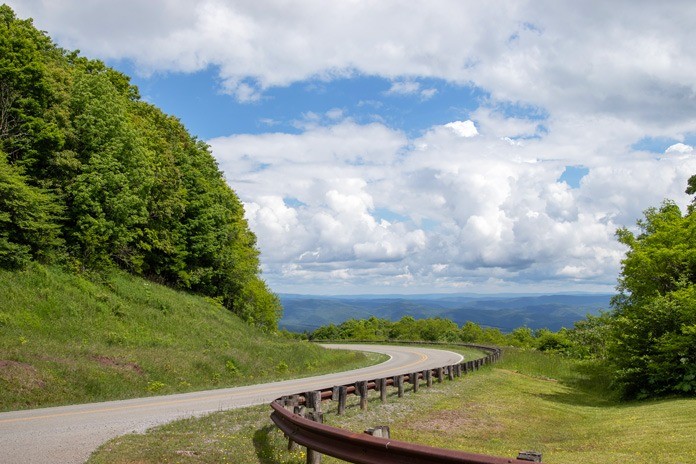
While riding from Highland County, Virginia, over the West Virginia border, the road surface on U.S. Route 250 magically changed from occasional crumbling asphalt to pristine conditions as I entered Pocahontas County, West Virginia. The smooth primary and secondary roads with twisties, easy sweepers, and elevation changes (and not a single police officer!) offer just the type of riding I was hoping for when I decided on this eastern West Virginia motorcycle ride.

Located midway between Beckley in West Virginia and Afton, Virginia (the access point for both the Blue Ridge Parkway and Shenandoah National Park’s Skyline Drive), Pocahontas County provides tastes of both with its quality roads, excellent scenery, and great places to visit. Within its borders are Snowshoe Mountain Resort, parts of Monongahela National Forest, and several state forests and parks.
My first night was spent in Greenbrier Suites, a modest bed and breakfast in Durbin. Although it lacks A/C and TV, the trilevel walk-up apartment had all I needed for an overnight stay. I woke up early in anticipation of meeting my riding partners, happy the weather forecast had improved to only a slight chance of showers. I took it as a good omen and kept the raingear tucked away in the Tour Pak of my Harley-Davidson Ultra Limited.
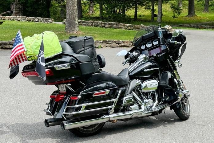
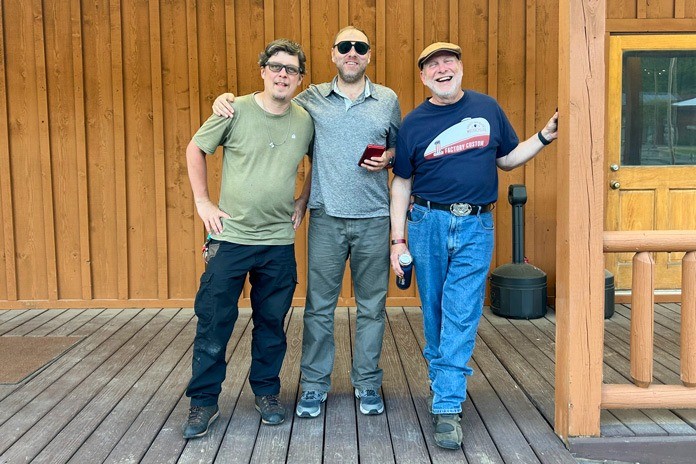
Our riding group was eclectic, with a welder, a marketer, a librarian, and me, a retired consultant. Our motors were as diverse as we are, with two 1990s-era BMW K75s and a Honda Nighthawk mingling with my Harley. In various groupings over two days, we rode throughout the Upper End (northern half) of Pocahontas County, logging miles and visiting as many sites as we could fit in.
Day 1: Mountain Views and Deep Space
We began our day with breakfast at the Simply Sweet Cafe, which offers traditional breakfast fare and excellent coffee. We mounted our bikes and headed west out of Durbin on U.S. 250. I quickly learned not to focus solely on the great scenery along the route – within the first mile, deer ran across the road two different times.
We headed to Gaudineer Knob on Cheat Mountain, which offers a beautiful overlook of the Monongahela National Forest. Arriving at the Knob’s entrance after a quick seven miles, we were met by the first of several gravel access roads that we’d encounter, but they were well-maintained and easy to ride on with my fully loaded Ultra.
After hiking the short trail past the overlook and the picnic sites, we were back on the bikes heading east on U.S. 250 to its intersection with State Route 92. We turned south on SR-92 for a short jaunt to Fort Warwick. It was a comfortable ride with very little traffic, so we had ample opportunities to enjoy the scenery.
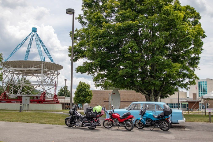
Waiting for us at the site was Bob Sheets, who is a motorcyclist, retired educator, and owner of the property surrounding Fort Warwick. He provided an excellent tour of the one-room museum and nearby digs.
Tearing ourselves away from the 18th century, we made a leap into the future by riding a few miles up Potomac Highlands Trail (State Routes 92/28) to Observatory Road, site of the Green Bank Observatory.
The GBO’s array of radio telescopes study low-frequency gravitational waves, cosmology, and star formations in distant space. The largest of the seven telescopes is 100 meters across – 10% longer than a football field. The observatory is located in the National Radio Quiet Zone, 13,000 square miles with strict restrictions on things like cell service, microwaves, and wi-fi signals so that the electromagnetic spectrum isn’t drowned out by radio noise.
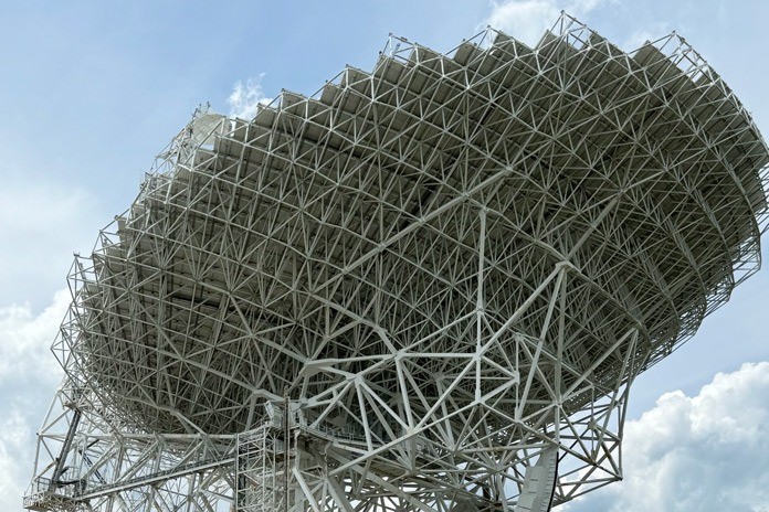
Learning about the NRQZ helped me understand a key factor that makes riding in the Upper End so enjoyable: The lack of cellphone service resulted in the absence of drivers distracted by their phones. During our two days of riding, we didn’t encounter one car or truck crossing the center line, turning in front of us, or failing to allow us to pass when necessary.
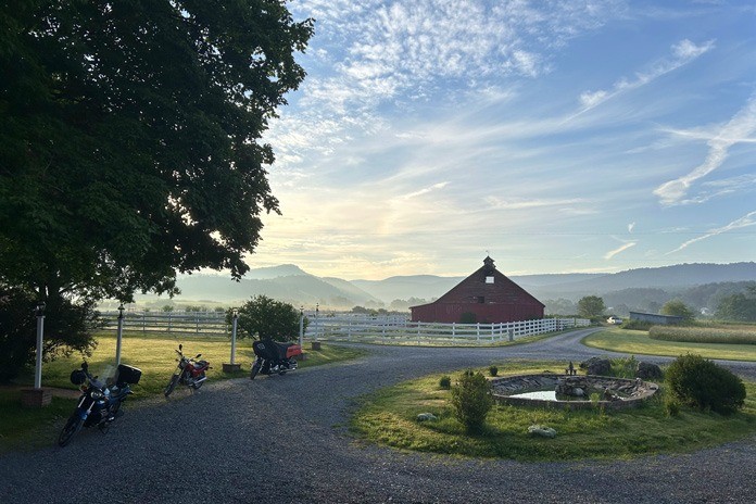
The observatory’s Starlight Café turned out to be a much better choice for lunch than what we expected from a humble snack bar. After eating, we took a one-hour tour that included a presentation with science demonstrations and a narrated bus ride through the site.
After our tour, we were happy to have the opportunity to explore more of the county’s lovely roads. We took Wesley Chapel Road between Green Bank and Frost, a nice curvy alternative to SR-92. The scenery on Wesley Chapel (aka Back Draft Road) is impressive with its mountain views, farms, and homesteads.
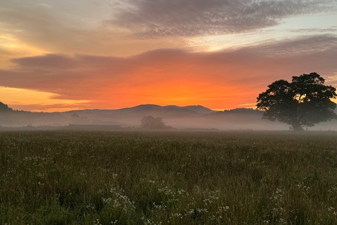
We again enjoyed limited traffic, a few twisties, and modest elevation changes. Wesley Chapel becomes Sheets Road before reconnecting to SR-92. The 16-mile ride to Frost stimulated the positive vibes we feel when cruising beautiful roads with likeminded riders.
We spent the night at The Inn at Mountain Quest, a unique hotel with 12 guest rooms, an impressive library, a game room with pool table, an observatory tower, and a dining room. Each guest room has a different theme with interesting decorations, and lodging includes tasty made-to-order breakfasts. Because it’s within the NRQZ, it doesn’t offer wi-fi, so the hotel provides ethernet cables and USB adapters that connect to a speedy network.
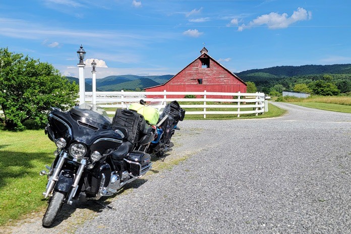
For dinner, we rode to nearby Arborville, essentially reversing the route we’d taken from Green Bank, minus Wesley Chapel Road. The ride was a little more challenging because it was getting dark and we spotted a few animals along the road.
We stopped for grub at The Bear’s Den, which offers entrees, pizzas, burgers, sandwiches, and numerous side dishes. It had great food and good service, especially for a restaurant attached to a gas station! We stayed so late they had to unlock the door to let us out, but we never felt rushed.
Day 2: From Radios to Railroads
A beautiful sunrise greeted us the next morning, and we enjoyed breakfast prepared by the innkeeper, Julia Williams. Then we mounted the bikes and embarked on a backroads route that took us to the Allegheny Mountain Radio Station (WVMR).
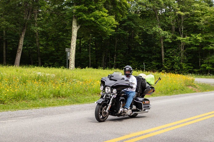
We headed north on SR-92 before taking a quick left on Thorny Creek Mountain/Odie Gay Road. The road’s twists and turns warmed up our tires and gave us some extra excitement before Browns Creek Road (SR-28) got us to the station.
WVMR has a unique mission, as it’s the only station providing services to a region consisting of Pocahontas County and both Highland and Bath counties in Virginia, so it’s a crucial lifeline during emergencies or natural disasters. It also provides local and regional news in between DJs spinning tunes covering everything from gospel to bluegrass to rock.
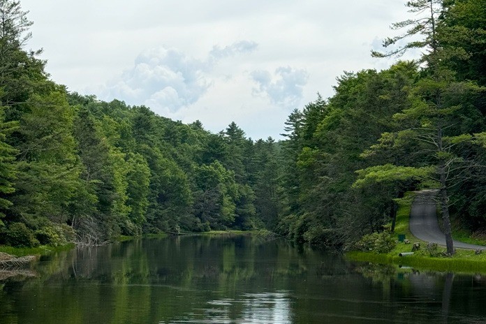
Next on our list was the nearby Seneca State Forest, West Virginia’s oldest and largest forest with nearly 13,000 acres. There are some excellent routes within the forest, which doubles as a state park offering camping, cabins, boating, fishing, and other activities. We had great rides with twists, turns, and fun elevation changes. Seneca Lake is located within the park and is well worth a stop.
After checking out the Seneca gift shop, we motored out of the park heading north on SR-28. Soon after we got up to speed, SR-28 merged into SR-92 – a nice ride even though it’s flat and straight.
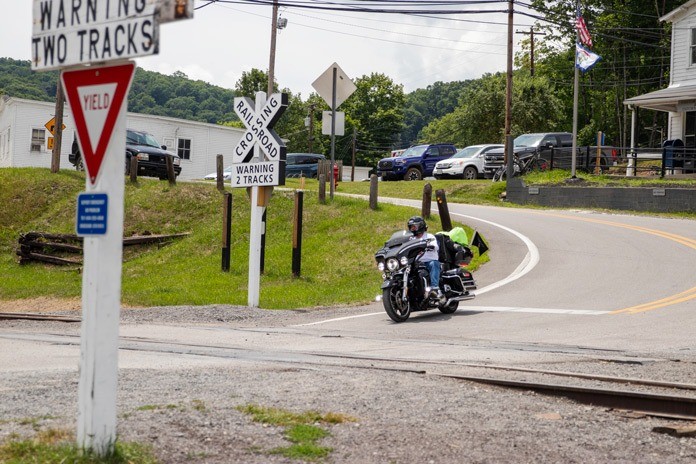
The ride got considerably better when we reached Cass Road. Also known as State Route 66, its path is shaped by Deer Creek, so it delivers twists and turns as it passes through the valley. Once again, traffic was light, and we opened up our throttles to catch refreshing breezes.
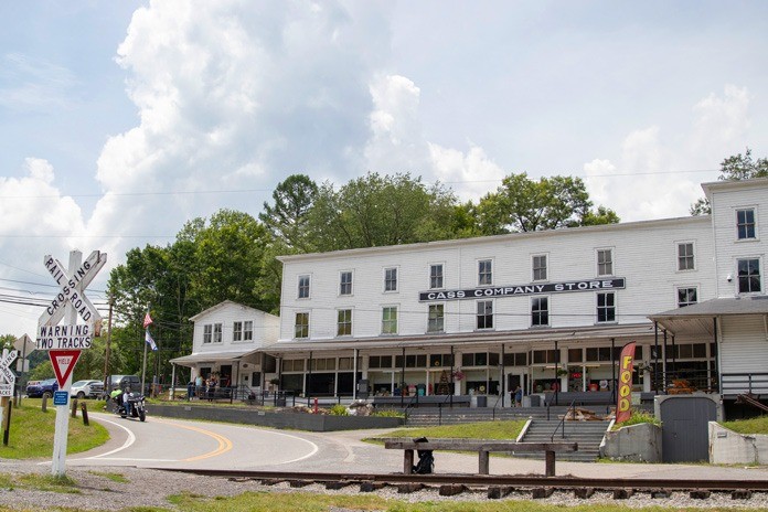
We soon rolled into the Cass Scenic Railroad State Park, a former hub of railroad activity for the region driven by the logging industry that blossomed at the turn of the 20th century. Along with the historic railroad, the park has the Cass Store and Shay’s Restaurant, which offers barbecue, burgers, hot dogs, and ice cream treats.
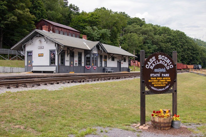
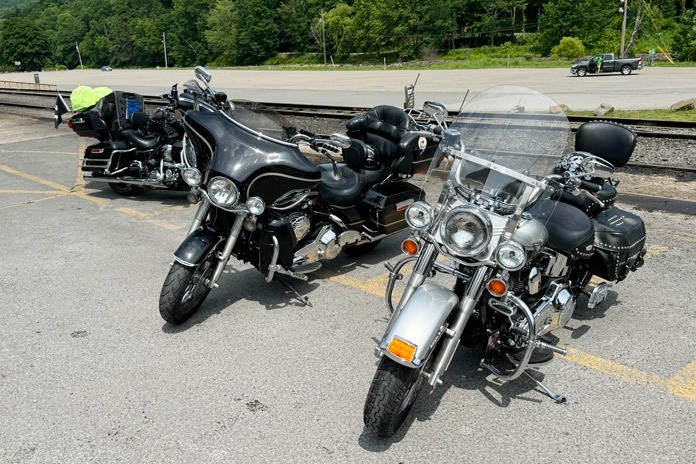
We saw more motorcycles gathered in Cass than anywhere else in the county. With such great riding and so many cool things to do yet so few bikers, Pocahontas County is a place that more riders need to discover.
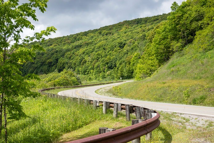
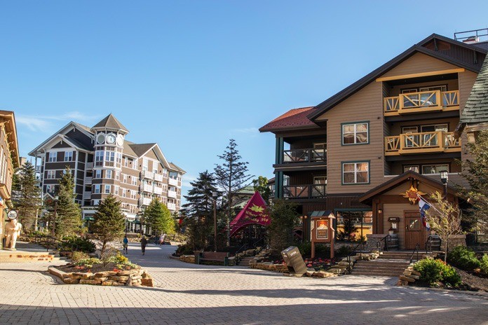
Leaving Cass, we continued on SR-66 to one of the best rides of this trip. Snowshoe Drive entertained us with several uphill switchbacks as the road climbed to the Snowshoe Mountain Resort.
The route was exhilarating and reminded me of past rides in the Blue Ridge and Great Smoky mountains. Along with the climbing elevation, we saw excellent scenery and experienced a drop in temps on the way up. The village was relatively quiet save for some mountain bikers using the slopes and ski lifts, but it gets busy when the snow flies.
The ride down from the resort was even more enjoyable, as it provided the added thrill of carving downhill switchbacks. We took advantage of the reduced traffic to stretch the speed limit a little. Once Snowshoe Drive ended, we took a right on Cass Road, putting us back on SR-66, and then hung a left on U.S. Route 219 (State Route 55) to Slaty Fork, West Virginia, just five miles farther.
We checked in at Elk River Inn & Cabins, which is ideally located midway between Snowshoe Drive’s switchbacks and the Highland Scenic Highway, possibly West Virginia’s most beautiful limited-access route. The inn has a variety of accommodations in the main building and in several cabins. Our lodge rooms were very comfortable, and we also had access to multiple common gathering spaces for guests – the largest one has great views through panoramic windows.
Our choice for dinner was the Kickin’ Chicken about six miles away. They serve soups, salads, hoagies, and roasted chicken. Bring a big appetite or friends if you opt for the roasted chicken because it comes in only one size: the whole bird!
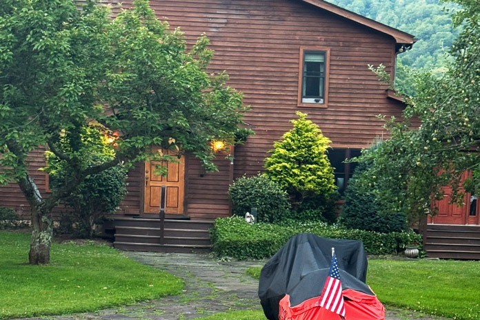
Afterward, we headed back to the inn and spent the rest of the evening in the lounge enjoying each other’s company and revisiting our favorite parts of the ride.
Despite having ridden through the Upper End of Pocahontas County numerous times, I had no idea what I’d been missing by not spending more time there. I’ll return often now that I’ve experienced its charming local flavor and its less-traveled roads.
Pocahontas County, West Virginia Motorcycle Ride Resources
The post Pocahontas County, West Virginia Motorcycle Ride appeared first on American Rider.


